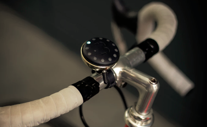
Cycling is one of life’s great joys, especially because it’s free to do and offers cyclists who do it often a wide-range of health benefits. However, getting from A to B hasn’t always been the easiest part of it all, forcing those on the move to stop to consult a map or a smartphone for directions, ultimately ruining the fun.
Blubel is a satellite navigation system built within a bike bell. Riders input their destination into Blubel’s companion iOS/Android app and leads riders to their destination using a set of LEDs. On the way, a set of lights indicates a right turn and another indicates a left turn, both of which are prefaced by an audible ping to indicate one is coming up. When close to a destination, a steady LED lights up and acts as a compass. What sets Bluebel apart, though, is its crowdsourced mapping.
